
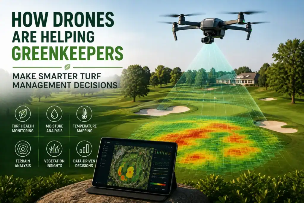

Golf course maintenance isn’t what it used to be. You can’t just stroll down the fairway and eyeball the grass anymore, hoping you’ll spot every issue. Experience still matters, no doubt about it, but greenkeepers deal with a whole different level of pressure now: tight budgets, smaller teams, wild weather, and golfers demanding every green looks flawless. Every choice matters more than ever in turf management.
That’s where drones really come into play. Forget spending most of the morning hiking the course to check things out; now, you just send up a drone, and in one flight, you can see everything. These drones are way more than just cool flying machines. They come loaded with high-res cameras, thermal sensors, and multispectral imaging – all the fancy stuff, even LiDAR. So while they’re gliding overhead, they catch everything. I mean, details your eyes would totally miss if you were just walking the field. Turf health, elevations, moisture, and drainage – if there’s a problem or something starting to go wrong, these drones see it.
Forget wandering around squinting at patches of grass, guessing what’s off. The maintenance crew can zero in on early signs of stress or drainage issues right away and fix them before they blow up into expensive problems. It means less time hunting and more time actually getting things done.
Funny enough, this tech started on farms; farmers wanted to know exactly how their crops were doing so they could water or treat them before things went bad. Now, golf courses are seeing those same perks. They’re getting stronger turf, saving water and fertiliser, and making smarter calls to keep the course playing great.
The Challenges of Modern Turf Management
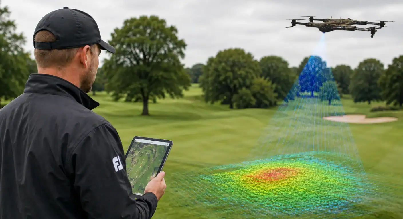
Maintaining consistent playing conditions across an entire golf course is a complex task. Every hole presents different environmental conditions, including sunlight exposure, soil composition, drainage, foot traffic, and moisture retention.
Greenkeepers often face challenges such as
- Uneven irrigation coverage
- Heat and drought stress
- Localized dry spots
- Turf diseases
- Pest infestations
- Nutrient deficiencies
- Soil compaction
- Limited budgets and labour
Usually, traditional inspections mean walking the course and checking spots that look off. Sure, this works, especially for smaller areas, but it’s tough to cover everything on a big course. Inspecting every green, fairway, and rough takes a lot of time, and sometimes you miss early turf stress because it’s just not obvious yet. By the time turf starts looking discoloured, you’re already dealing with a bigger problem. Now you’ve got heavier maintenance, higher costs, and longer recovery, plus the course isn’t in top shape for play.
Drones are a game-changer here. They don’t replace boots-on-the-ground inspections, but they do give you an aerial view and make it way easier to spot trouble early. Maintenance teams can catch subtle signs before things spiral, and that means less hassle in the long run.
Why Drones Are Becoming Essential for Greenkeepers
A drone can survey an entire golf course in less than an hour, collecting detailed imagery that would otherwise require several hours of manual inspection. More importantly, it creates consistent records that allow greenkeepers to compare turf conditions over time instead of relying only on memory or handwritten notes.
You may also like
Modern drone surveys can provide valuable information about:
- Turf vigor
- Moisture distribution
- Drainage performance
- Surface temperature
- Vegetation health
- Areas affected by heavy traffic
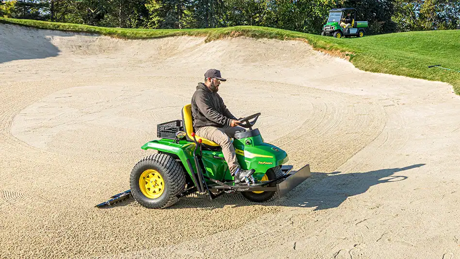
- Sand bunker erosion
- Tree canopy impacts
These datasets help maintenance teams prioritise work based on measurable conditions rather than assumptions. Instead of treating an entire fairway equally, greenkeepers can focus attention only where intervention is necessary, improving efficiency while reducing unnecessary maintenance costs.
Aerial Mapping Provides a Complete View of the Course
One of the biggest advantages of drone technology is its ability to create highly detailed aerial maps. Orthomosaic maps combine hundreds of overlapping images into one accurate, high-resolution representation of the golf course. Unlike standard satellite imagery, drone-generated maps are updated whenever needed and provide significantly greater detail.
These maps allow greenkeepers to:
- Monitor fairway conditions
- Evaluate green consistency
- Inspect tee boxes
- Review bunker conditions
- Measure rough growth
- Assess drainage pathways
- Document maintenance progress
Because every flight follows a repeatable route, changes can be tracked throughout the season with remarkable consistency. Historical comparisons help identify recurring maintenance problems that may otherwise go unnoticed during routine inspections.
Detecting Turf Stress Before It Becomes Visible
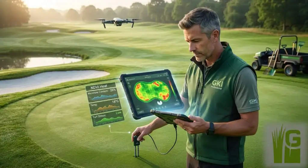
One of the most valuable applications of drones is identifying stress before turf damage becomes obvious to the human eye. Multispectral sensors capture light wavelengths beyond visible colors, allowing software to evaluate plant health through vegetation indices such as NDVI and similar analytical measurements.
Healthy grass reflects light differently than stressed grass. Even when turf appears green during a ground inspection, aerial imagery may reveal developing stress caused by:
- Water shortages
- Root damage
- Nutrient deficiencies
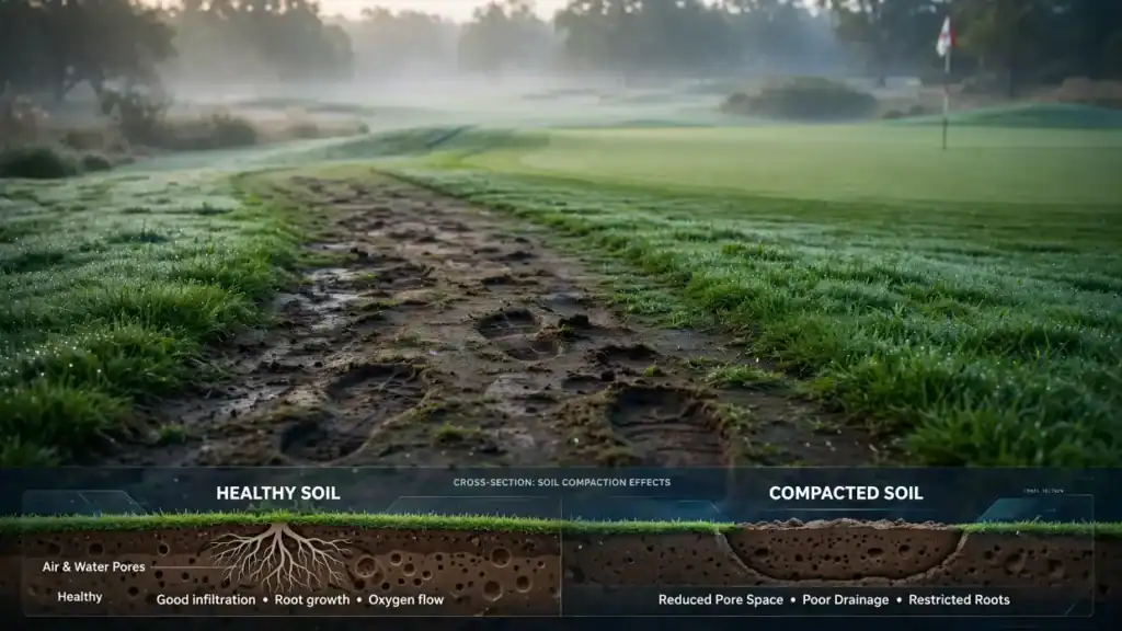
- Soil compaction
- Disease development
- Heat stress
Early detection gives maintenance teams additional time to investigate the underlying cause and implement corrective actions before larger sections of turf are affected. Preventative maintenance is often more cost-effective than repairing extensive turf damage after symptoms become severe.
Improving Irrigation Management with Accurate Data
Water management remains one of the largest operational expenses for golf courses. Overwatering increases disease pressure, encourages shallow root systems, and wastes valuable resources. Underwatering stresses turf and reduces playing quality. Drone imagery helps identify irrigation inconsistencies across greens, tees, and fairways.
Common issues that aerial surveys reveal include:
- Dry patches
- Oversaturated areas
- Broken sprinkler coverage
- Uneven watering patterns
- Poor drainage
- Runoff problems
Thermal cameras can also highlight temperature differences that often correspond to moisture variation. Instead of adjusting irrigation schedules based on assumptions, greenkeepers can use aerial evidence to optimize watering practices and improve overall turf performance. More efficient irrigation not only conserves water but also supports healthier, more resilient turf throughout changing weather conditions.
Supporting Early Disease and Pest Detection
Turf diseases rarely spread evenly. Many infections begin in isolated locations before expanding across larger playing areas. Identifying these early outbreaks can significantly reduce treatment costs and minimize disruption to the course.
Drone imagery can reveal subtle stress patterns associated with:
- Fungal diseases
- Insect activity
- Root damage
- Poor drainage
- Excess moisture
Rather than applying treatments broadly across an entire fairway or green, maintenance teams can focus inspections on areas identified by aerial surveys.
You may also like

This targeted approach offers several benefits:
- Faster investigation
- Reduced chemical use
- Lower maintenance costs
- Less environmental impact
- Improved treatment accuracy
Ground verification remains essential, but drones help narrow the search area considerably.
Making Fertilizer Applications More Efficient
Every section of a golf course has different nutritional requirements. Factors such as sunlight exposure, traffic intensity, soil conditions, and irrigation patterns influence turf growth throughout the season.
Drone data helps identify areas experiencing slower growth or reduced vigor, allowing greenkeepers to allocate fertilizer more effectively. Instead of applying identical treatment rates everywhere, maintenance plans can be adjusted according to actual turf performance.
Potential benefits include:
- Reduced fertilizer waste
- More consistent turf quality
- Improved nutrient efficiency
- Lower operating costs
- Better environmental stewardship
Precision management also supports sustainability initiatives that many golf facilities continue to prioritize.
Tracking Seasonal Changes and Long-Term Turf Performance
Turf conditions change all year, thanks to weather, tournaments, watering schedules, and whatever maintenance is going on. Every section of a golf course reacts differently, and it’s not always easy to keep track of what’s happening where.
That’s where Drone as a Service (DaaS) surveys come in handy. They give greenkeepers a series of side-by-side snapshots to see exactly how things look week after week, month after month, even year to year. No more digging through old notes or trusting your memory; you’ve got real images to spot patterns and check if past fixes actually worked.
Say the aerial photos show one green always looking stressed in the heat of midsummer. Or maybe you’ve noticed that some fairways always stay soggy after rain; that’s a red flag for drainage problems. When greenkeepers see these patterns, they can fix what’s causing the trouble instead of just dealing with the same mess every time.
Historical drone imagery can also help evaluate:
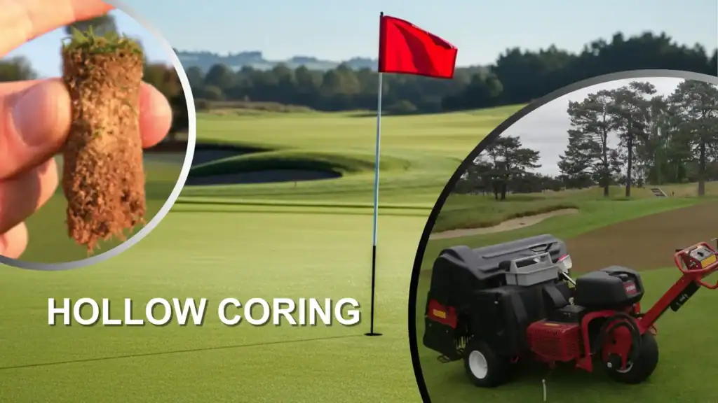
- Turf recovery following aeration
- Results of overseeding programs
- Drainage improvement projects
- Renovated bunkers and surrounding turf
- Tree removal or pruning impacts
- Seasonal wear in high-traffic areas
Keeping a solid record like this really helps when it comes to planning for the future. Gut feelings or guesswork.
Improving Communication Across the Maintenance Team
Caring for a golf course isn’t a solo job. You’ve got superintendents, assistant greenkeepers, irrigation pros, equipment operators, and plenty of seasonal workers, all pitching in to keep things running smoothly day after day.
Now, drone imagery changes the game for everyone. Instead of trying to describe exactly where a problem is, something that usually leads to confusion, a supervisor can pull up an aerial map, point right at the trouble spot, and lay out the maintenance plan. Suddenly, the whole team sees the same thing.
This can improve efficiency when assigning tasks such as
- Repairing irrigation issues
- Treating localized turf diseases
- Filling low spots
- Managing drainage concerns
- Scheduling mowing patterns
- Preparing tournament conditions
These high-res maps also come in handy for tracking what’s been done and how the course is shaping up as the season rolls on. When it’s time to talk with club management or the owners, these visuals really help. You can show where the tough spots are, back up requests for new projects, and actually prove the payoff from ongoing investments. No guesswork, just clear evidence that the course is getting the care it needs.
You may also like
Supporting Sustainable Turf Management
Golf courses are paying a lot more attention to environmental sustainability these days. Course operators want to cut back on water use, chemicals, and other resources, but no one wants to end up with poor playing conditions. Drones have stepped in to help by giving greenkeepers a clear picture of exactly where the course needs attention.
Instead of just treating large areas out of caution, staff can zero in on specific spots that actually show stress. That means water, fertilizers, and pesticides go right where they’re needed, no more, no less. Labor gets used more efficiently, too.
Some of the sustainability benefits associated with drone-assisted turf management include:
- Reduced irrigation through improved moisture monitoring
- Lower fertilizer use by identifying nutrient-deficient zones
- More targeted pesticide applications
- Fewer unnecessary pieces of equipment pass across the course
- Better monitoring of environmentally sensitive areas
- Improved documentation for sustainability initiatives
Drones won’t take the place of solid agronomic knowledge or basic good practices, but they do give turf managers better data, making it easier to take care of the course in a way that’s a little friendlier to the environment.
Challenges and Considerations When Using Drones
Drones bring a lot to the table, but they don’t make traditional turf management obsolete. To really get results, you need a solid plan, people who know how to operate the drones, and someone who can actually make sense of all that data.
Before greenkeepers dive in, they’ve got a few practical things to sort out. For one, drone images point out possible trouble spots, but they don’t tell the whole story. You still have to walk the turf, check for disease, soil problems, leaks, pests, whatever’s going on, before you make big decisions.
These include:
- Local drone regulations and flight restrictions
- Weather conditions that may affect image quality
- Battery limitations during larger surveys
- Regular equipment maintenance
- Data processing time after flights
- Staff training for image interpretation
- Integration with existing turf management software
Drones are most effective when combined with scouting and agronomic expertise, and they are not a substitute for thoughtful management decisions based on that expertise. However, when used effectively, they can provide valuable information that enhances the decision-making process.
The Future of Drone Technology in Turf Management
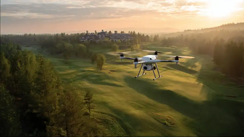
Drone tech is moving fast, and it’s opening up some real possibilities for golf course upkeep. Now we’ve got AI that can scan images, spot signs of turf stress or disease, and flag any weird irrigation patterns. So, instead of someone staring at endless photos, greenkeepers can just check an automated report and know exactly where to look.
Looking ahead, these drones will sync up with smarter irrigation setups, live weather feeds, and GIS mapping. When all this tech talks to each other, maintenance crews can react quickly and base their calls on what’s actually happening out there, right in the moment. That means healthier courses, less wasted water, and a lot less guesswork.
Emerging innovations may include:
You may also like

- AI-assisted turf health analysis
- Automated stress detection
- Predictive disease modeling
- Real-time irrigation recommendations
- Enhanced thermal imaging capabilities
- Faster cloud-based data processing
- Improved 3D course modeling
As these technologies become more accessible, drones are likely to become a standard component of modern golf course management rather than a specialized tool used only by larger facilities.
Conclusion
Greenkeepers face many challenges, such as keeping the turf healthy, managing budget limitations, dealing with maintenance teams with fewer workers, and environmental responsibilities. As we all know, golf course drone maintenance becomes more demanding, and making informed decisions is essential to delivering consistent playing conditions.
Drones make life a little easier. They give teams a real-time look at the entire course, capturing turf conditions that you can’t always spot from the ground. Whether it’s checking how well the irrigation system is working, spotting early signs of turf stress, helping plan fertilizer applications, or tracking how things change from season to season, drones back up decisions with solid data, not just guesswork.
Of course, drones can’t replace experience or boots-on-the-ground know-how. But they do give greenkeepers that wide-angle view you just can’t get any other way. When you pair what you see from above with on-the-ground expertise, it’s a lot easier to react quickly, use resources wisely, and keep the course in top shape all year long.
And as drones get even smarter, they’ll only become more important for precision turf care. Maintenance teams can expect more tools to boost efficiency, strengthen sustainability, and help courses perform better in the long run.

I’m Jessica Miles, a content writer with 3+ years of experience creating content around drone technology and UAV applications. Over the years, I’ve written about drone mapping, surveying, inspections, agriculture, construction, mining, golf course management, and Drone as a Service. I enjoy taking complex drone technologies and turning them into clear, practical, and easy-to-understand content that provides real value to readers.
That’s really impressive. I never thought of drones as a disease monitoring tool for turf, but this makes a lot of sense. Getting an aerial view could help managers catch small problem areas before they turn into major turf damage. The point about combining drone data with on-the-ground inspections is especially important. The technology can spot the warning signs, but the turf manager still makes the final call.